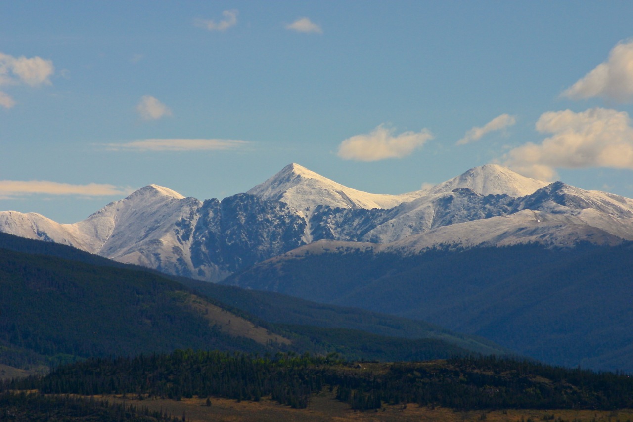
 Waiting a week to open Copper Mountain for the season apparently pleased the snow gods, who are set to deliver some fresh powder just in time for those first turns.
A storm system approaching from the Southwest is set to start dropping snow on southwest Colorado starting Wednesday, spreading north and east and continuing through Thursday morning in the northern and central mountains, according to the Colorado Avalanche Information Center.
For now, the CAIC is projecting about 3 to 6 inches of snow for the Vail-Summit County area, with bigger totals expected in the San Juans (18 inches, as well as the northern Front Range, which could see up to a foot of snow.
The bulk of the storm will push out of the area late Thursday but a lingering northwest flow could bring a few more inches to Copper and the surrounding area. Opening weekend at Copper could be bluebird, with high pressure forecast to build into the area by Saturday, bringing clear skies and warmer temps.
More details from the Denver-Boulder National Weather Service folks are here. Storm watches, warnings and advisories are here.
Filed in Weather